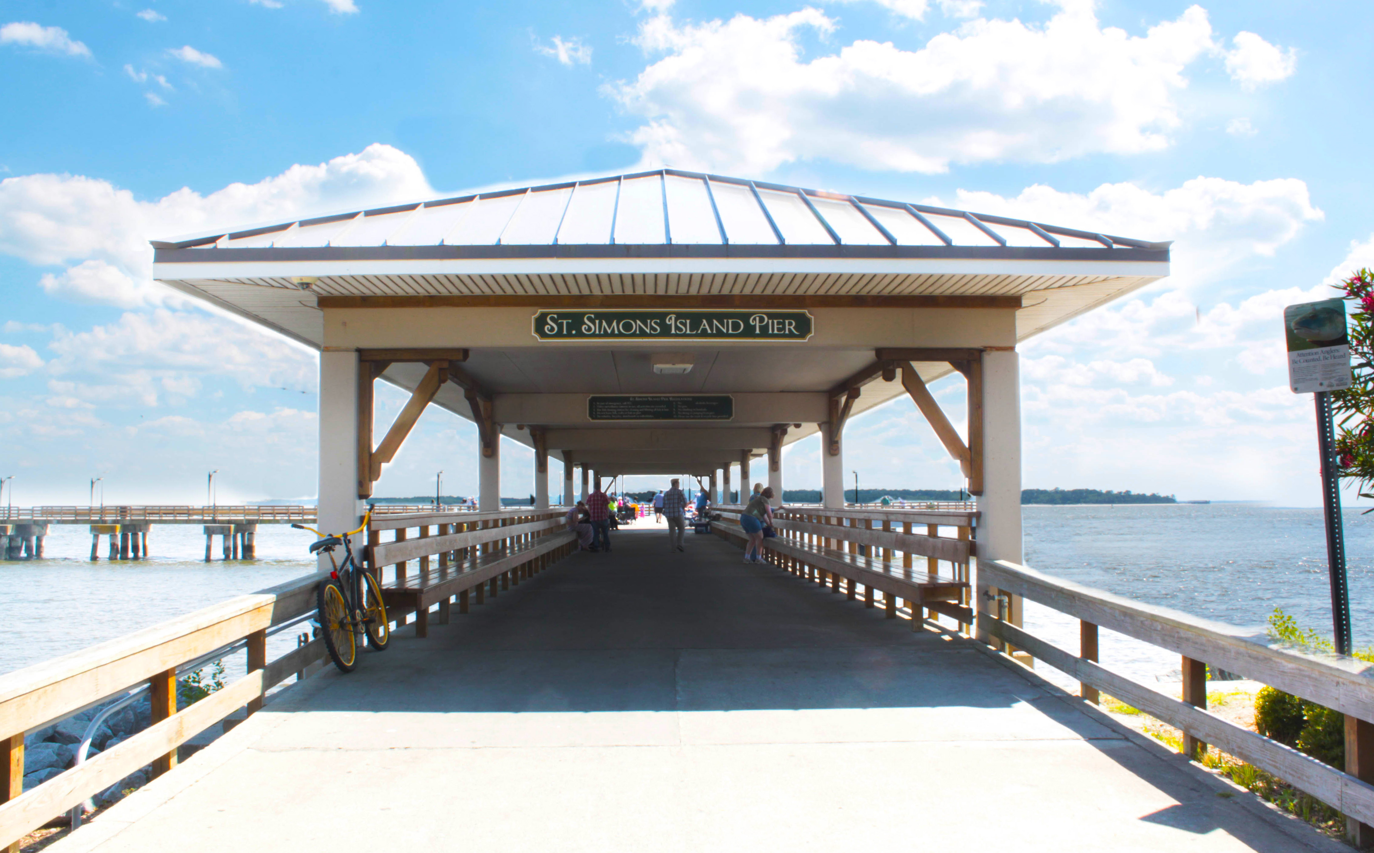
St. Simons Island is part of a cluster of barrier islands and marsh hammocks between the Altamaha River delta to the north, and St. Simons Sound to the south.
Sea Island forms the eastern edge of this cluster, with Little St. Simons on the north, and the marshes of Glynn plus the Intracoastal Waterway to the west.
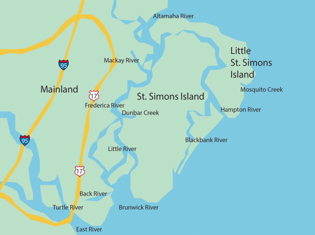
The Mackay River
The Mackay River is a 13.4-mile-long tidal river in Glynn County, Georgia. It flows between Saint Simons Island to the east and the mainland, including the city of Brunswick, to the west, and connects to Buttermilk Sound at its north end and St. Simons Sound and the Brunswick River at its south end. It runs parallel to and west of the Frederica River. The Mackay River is crossed by the F.J. Torras Causeway traveling between Brunswick and Saint Simons. It is part of the Intracoastal Waterway.
The Brunswick River
The Brunswick River is a 6-mile-long tidal river in Glynn County, Georgia. It begins at the confluence of the South Brunswick River with the Turtle River southeast of Brunswick and flows east to St. Simons Sound, the strait between Saint Simons Island to the north and Jekyll Island to the south.
The Lanier Bridge crosses the Brunswick River, I-95 and Georgia State Route 303 cross the Turtle River, the Torres Causeway crosses St. Simons Sound, and the Jekyll Island Causeway crosses Jekyll Sound.
The Turtle River
The Turtle River is a 17.6-mile-long tidal river in the vicinity of Brunswick in Glynn County, Georgia. It is the main tributary of the Brunswick River.
The stream headwaters are in the Turtle River Swamp adjacent to the community of Georgetown and Georgia State Route 99. The stream flows southeast and east passing under I-95 just prior to its confluence with the Brunswick River along the south side of Brunswick, Georgia.
The mouth of the Turtle River is located adjacent to the Port of Brunswick. The river has an average depth of 23 ft. with some depths over 35 ft. The Turtle River is part of the Brunswick River Delta, which consists of dozens of small tributaries, some of which are navigable rivers (such as the Turtle River) and some of which are small streams and swamps that are rich with fish, white shrimp and coastal wildlife.
The Frederica River
The Frederica River is an 11.0-mile-long tidal river in Glynn County, Georgia. It forms the western boundary of Saint Simons Island of the Georgia Sea Islands. Fort Frederica National Monument is located on the eastern bank of the river on Saint Simons Island.
Including its tributaries, the Altamaha River’s drainage basin is about 14,000 square miles in size, qualifying it among the larger river basins of the US Atlantic coast. It is the largest river in Georgia.